Sustainable Development Goals

The Sustainable Development Goals (SDGs) of the United Nations inspire us to make a difference. These are 17 goals for a more sustainable world in 2030.
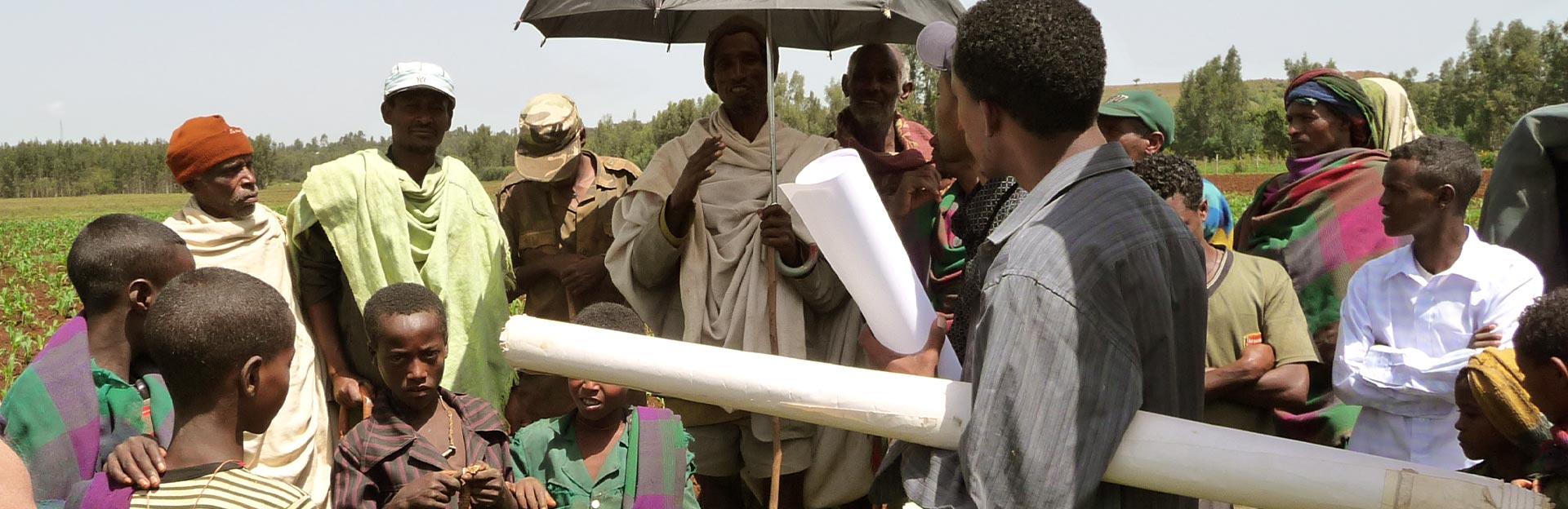
Together with national partners, we further develop knowledge and skills in land administration. Our consultancy assists national governmental organizations to design systems and methodologies for land administration and geographic data.
Kadaster has extensive knowledge and skills regarding land registration, land consolidation and geographic information. Based on these experiences, we work together with governmental institutions all over the world to further improve land administration. If rights are registered, owners have legal security.
A sound land registration is an instrument for economic development and improvement of living conditions. Land rights are part of the Sustainable Development Goals, to which Kadaster is fully committed.
The Sustainable Development Goals (SDGs) of the United Nations inspire us to make a difference. These are 17 goals for a more sustainable world in 2030.

Dutch partnership of the Ministry of Foreign Affairs and Kadaster, with expert contributions from (inter)national governments, private companies, NGOs, knowledge centres and universities. In this programme, Kadaster organised about 30 short term projects.

Land administration is a fundamental infrastructure for the sustainable economic and social development of all societies. The 'Fit for purpose' approach helps to start up initiatives for sustainable land administration worldwide.

The Framework for Effective Land Administration (FELA) helps countries build effective, inclusive and sustainable land administration systems.

The Land Administration Domain Model (LADM) and the Social Tenure Domain Model (STDM) support transparent, inclusive and interoperable land administration worldwide.