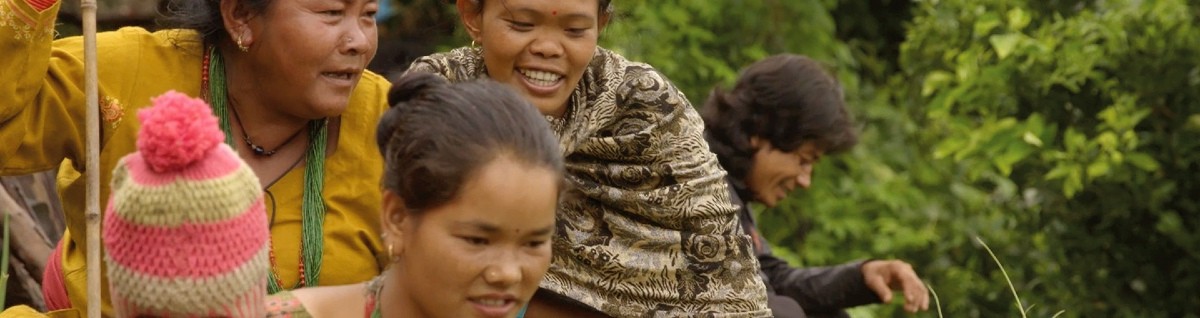
News item: Mapping land use in the Amazon rainforest: empowering indigenous communities
Indigenous leaders and youth in the Brazilian Amazon rainforest built new skills to map and protect their land during a hands-on workshop.
Read more
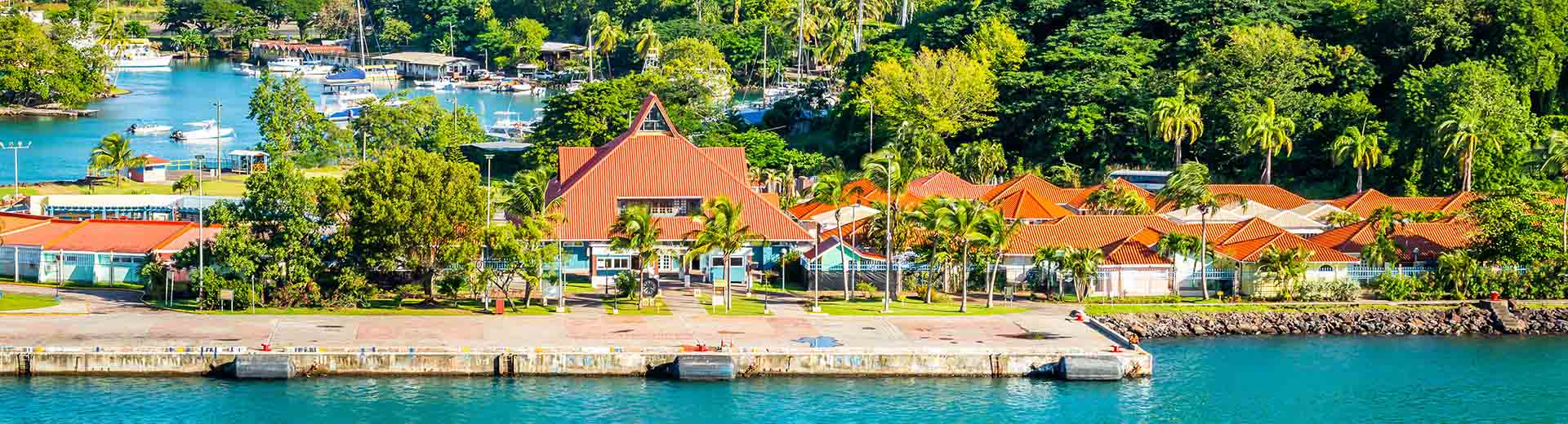
Saint Lucia is exposed to a range of natural hazards, particularly weather-related phenomena such as hurricanes, winds, storm surges, and heavy rainfalls leading to wind damage, flooding and landslides. In addition, climate change related impacts are expected including shifts in precipitation patterns, more intense storms, increased hurricane intensity and sea- level rise. These unavoidable adverse natural events and consequences of global warming are coupled with the fact that the majority of the population and major economic activities are situated on, or near the coastline.
The Government of Saint Lucia (GoSL) recognizes that geospatial data is an important asset that can be used for policy development and execution regarding natural disasters. As such it is an indispensable element of effective governance and decision-making. It is in this light that GoSL has undertaken several initiatives, one of which is the Development of the National Spatial Data Infrastructure (NSDI) in St. Lucia. This is part of a program (DVRP) funded by the World Bank.
The 5 areas of implementation support are:
Following up on the first NSDI development project in St. Lucia in 2019, concentrating on the legal and business analysis and reflected in a change implementation strategy, the World Bank has awarded the extension of this project to the consortium of Kadaster and KU Leuven.
The focus this time is on assisting in the different NSDI implementation aspects.
The World Bank has awarded the extension of this project to the consortium of Kadaster and KU Leuven.
1 February 2022 – 15 May 2023
Indigenous leaders and youth in the Brazilian Amazon rainforest built new skills to map and protect their land during a hands-on workshop.
Read moreIf you want more information about the project or if you want to contact us, please fill in the contact form.
The film “Ontheemd” is about the importance of, and complications with land rights in the Netherlands, Colombia and Nepal.
Kadaster will assist in developing plans for an integrated land registry and cadastre system, including both statutory and customary land rights.
We have collaborated with the Rwanda Land Management and Use Authority (RLMUA) since 2008. In August 2021, the Netherlands Enterprise Agency (RVO) programme Land-at-Scale approved a funding application to continue the cooperation for the next four years.
To establish an infrastructure of systems and procedures for the initial registration and updating processes. The ANDF staff will have acquired the necessary expertise and some parts of the country will be registered.