News item: Monique Sueters new chair of the executive board of Kadaster
As of 1 July, Monique Sueters (52) has been appointed as chair of the executive board of Kadaster.
Read more
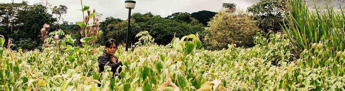
Land disputes are a major cause of displacement in Oaxaca, Mexico. Many people live on communal or ejidal land. Ejidal land is land that is owned and managed by a community rather that by one person. When land information is incomplete or difficult to access, it can be harder for communities to protect their homes and land rights.
We work together with local and national partners to improve land governance and access to land information. The project supports the implementation of the 2025 Oaxaca Law on Internal Displacement. We help strengthen the capacity of public institutions, improve land information management and test community-based mapping approaches. This helps communities at risk of displacement and internally displaced persons (IDPs) better protect their housing, land and property rights.
Reliable land information is essential to protect the rights of people affected by displacement.
As of 1 July, Monique Sueters (52) has been appointed as chair of the executive board of Kadaster.
Read more