Back to previous page

Bosnia-Herzegovina: GeoConnect and geospatial expertise

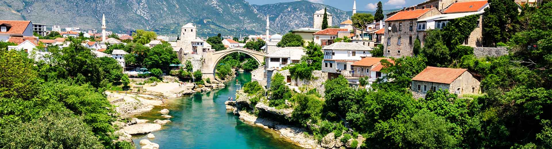
Project GeoConnect aims to expand the use of geospatial and remotely sensed data in the Federation of Bosnia-Herzegovina. It focuses on integrating this data into the country’s national spatial data infrastructures (NSDIs).

The project helps build knowledge and skills around geospatial data. It supports responsible and transparent governance. The focus will be on building institutional capacity, enhancing data exchange processes and standards. While also raising societal awareness and usage of geospatial data in decision-making.

The project strengthens local governance, shares expertise and enhances relations between the Netherlands and Bosnia-Herzegovina. It is part of the MATRA G2G program

More about this project

  1. Enhanced institutional capacity
    Improved skills and knowledge of Bosnia-Herzegovina government officials in geospatial data management and governance. Enhanced capabilities of numerous other government spatial data providers, including Federal Administration for Geodetic and Real Property Affairs (FGA) as coordinating authority. All through implementing specialized training programs.
  2. Standardized and interoperable (geospatial) data
    Support the availability and use of harmonized and high-quality geospatial datasets compliant with EU INSPIRE standards.
  3. Societal awareness and engagement
    Greater public understandings and support for NSDI initiatives and their benefits.

Activities that will be undertaken in the project are: 

  • Providing advisory support via mentoring
  • Supporting skills development via workshops 
  • Creating service-based information exchanges
  • Conducting awareness raising community events

This will lead to the following results:

  • Alignment of data standards within the EU INSPIRE Framework
  • Strengthened Bosnia-Herzegovina’s geospatial data management and exchange knowledge
  • Established quality control and assurance processes
  • Identification and development of metadata standards for effective data exchange
  • Development of open-source spatial data management tools 
  • Integration of geospatial and remotely sensed information, e-services and cybersecurity standards 

The following partners are members of the GeoConnect consortium:

  • University of Twente, Faculty ITC
  • Kadaster
  • KU Leuven
  • University of Sarajevo, Faculty of Civil Engineering
  • University of Mostar, Faculty of Civil Engineering, Architecture and Geodesy

March 2025 - February 2029

News

Nieuws item: See it, report it! Feedback tool for Rwanda’s citizens

Scaling up our monitoring and ensuring compliance in Rwanda, we’re creating a feedback tool for citizens.

Read more

Other projects

Brazil: Protecting indigenous land rights in the Amazon rainforest

This project aims to ensure that the rights of indigenous people in the Amazon are recognized. It will help the communities in the Tapajós region to map and identify landholders. And they’ll learn how to use modern technology and the Fit for Purpose methodology to collect data.

Moldova: Supporting National Spatial Data Infrastructure

This project improved Moldova’s ability to use geospatial data to address key societal and environmental challenges.

Saint Lucia: Extending support NSDI development

Following up on the first NSDI development project in St. Lucia in 2019, concentrating on the legal and business analysis and reflected in a change implementation strategy, the World Bank has awarded the extension of this project to the consortium of Kadaster and KU Leuven.