News item: Strengthening digital mapping in North Macedonia
TAIEX experts helped North Macedonia modernise digital map production through practical recommendations and international knowledge sharing.
Read more
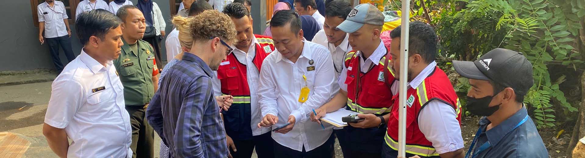
Kadaster supports the Indonesian National Land Agency, representing the Ministry of Agrarian Affairs and Spatial Land Planning (ATR/BPN) with institutional and technical change. This is needed to deliver a modern land registration system in Indonesia by 2024.
In this way, Indonesia is moving towards a land administration system that meets the social, economic and environmental needs. The agency has been undertaking continuous improvement initiatives, particularly relating to increasing map coverage and digitalisation over recent decades.
Together with Kadaster International we work on improving public trust in our data and give every Indonesian open access.
Modernizing Land Registration in Indonesia towards 2024.
By provision of advice, trainings and webinars Kadaster supports in:
On 13 July 2023, Virgo Eresta Jaya - Director General of Surveying and Mapping, Indonesian Ministry of Spatial Land Planning/National Land Agency, said the following:
“Currently we are finalizing our land covering parcel map to give Indonesian citizens access to their data and provide tenure security. In 2023 we registered in total more than 105 million parcels in Indonesia. Together with Kadaster International we work on improving public trust in our data and give every Indonesian open access. We need knowledge and experience from organizations like the Dutch Kadaster to modernize land administration and seize new opportunities in our field.”
1 February 2020 – 31 May 2024
TAIEX experts helped North Macedonia modernise digital map production through practical recommendations and international knowledge sharing.
Read moreIf you want more information about the project or if you want to contact us, please fill in the contact form.
The idea behind ‘Fit for purpose’ is that land administration should be designed to meet the needs of people and the environment. It also should identify the way land is occupied and used within a relatively short time and at relatively low costs.
This project aims to develop a geo-information and satellite imagery eco-system in Indonesia. At the same time, it will improve public governance systems.
Strengthening professional access to information about land. Together with 8 sister organisations in 6 countries in the Western Balkan (North Macedonia, Albania, Kosovo, Serbia, Bosnia & Herzegovina and Montenegro), this project focuses on the bilateral cooperation between Kadaster and each of the different organisations.
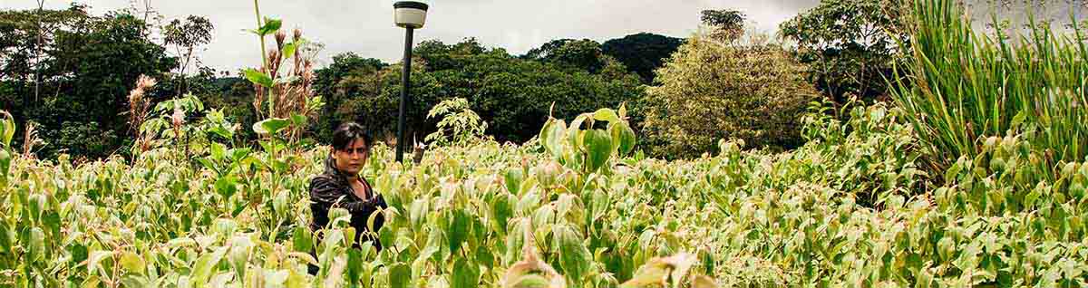
Up to 60% of the rural population in Colombia does not have legal proof of ownership over their land. At the current pace it will take centuries to realise tender security for all. This project aims at speeding up the process.