News item: Working together on participatory land governance in Colombia
In a country as culturally and ethnically diverse as Colombia, bridges must be built between institutions and communities.
Read more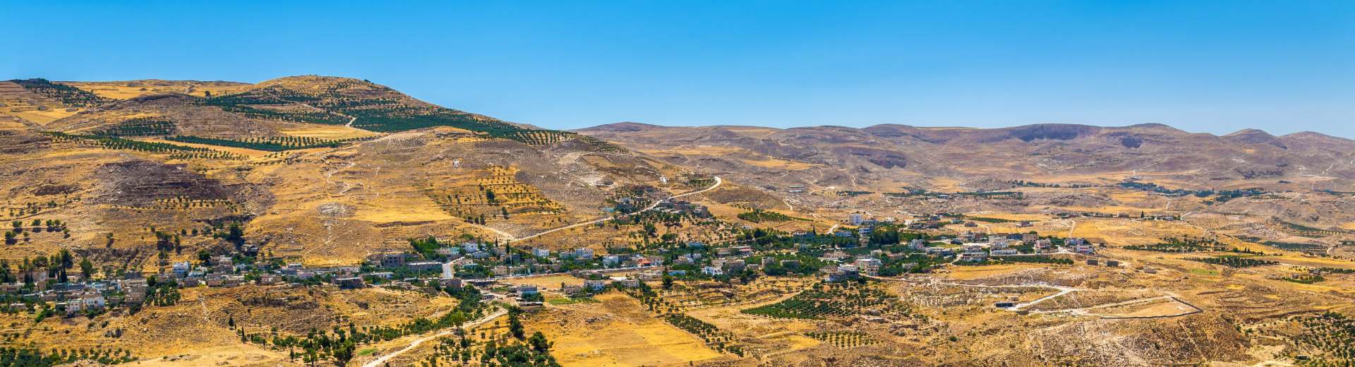
Jordan’s cadastre is held by the Department of Lands and Survey (DLS). It has a long-standing tradition of unified land registration and cadastral survey. Their integrated approach has laid a solid foundation for digital transformation. Over the years they have made notable achievements in digitizing land records and services.
The strength of the DLS lies in their digital orientation. However, they need further development to implement process-based workflows into the DLS, and to enhance integration with modern web services. This is especially important for public administration stakeholders.
This project will assist the DLS in advancing its land administration system, aligning it with international standards in land tenure administration. By the end of the project, the DLS will be better equipped to provide reliable data for infrastructure development. This in turn will foster investor confidence in land ownership and business conditions.
This project is a testament to the power of international cooperation. By combining expertise from the Netherlands, Croatia and Spain, we support Jordan in building a future-proof land administration system. It promotes transparency, efficiency and economic growth.
In a country as culturally and ethnically diverse as Colombia, bridges must be built between institutions and communities.
Read more